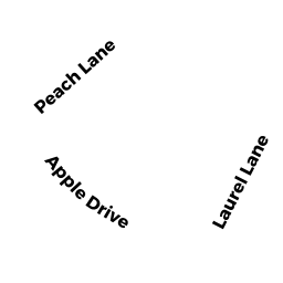
22 APPLE DR
Owner Information
RYAN, WILLIAM + SANDRA
22 APPLE DR
TOWNSEND, MA 01469


Property Details
22 APPLE DR is classified as a Single Family Residential (Colonial).
The primary structure on this property was built in 1988. There are 2,430ft2 of built area within this property. There is 2,430ft2 of residential/living space within this property. This property is listed as having 6 rooms.
22 APPLE DR is valued at $323,300. The land is valued at $68,600 and the structures are valued at $250,900. There is an additional valuation of $3,800 on this property.
This property is in Zone RA3. Confirm with local Zoning Board authorities to ensure there are no overlays or other easements on this property.
22 APPLE DR was last sold on Monday, May 1, 1989 for $163,000.
Assessment data from fiscal year 2020.
Flood Data
According to the FEMA National Flood Hazard Layer, this property does not appear to be in a flood zone. It may also be in an area not yet reviewed. Nonetheless, confirm this information prior to taking any action.
To view the flood hazards around this property, create a FEMA "Firmette" Map of the area around 22 APPLE DR.
Broadband Internet Providers
| Provider | Type | Bandwidth (mbps) | |
|---|---|---|---|
| Viasat Inc | Satellite | 100 | 3 |
| GCI Communication Corp. | Satellite | 0 | 0 |
| VSAT Systems, LLC. | Satellite | 2 | 1 |
| Comcast | Cable | 1000 | 35 |
| HughesNet | Satellite | 25 | 3 |
| Verizon New England Inc. | DSL | 15 | 1 |
Broadband service provider data from December 2020.
Adjacent Properties
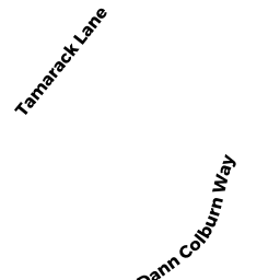
- 8 TAMARACK LN
Single Family Residential owned by BEST, STEVEN R. + MARY C. - 12 TAMARACK LN
Single Family Residential owned by GALEVI, MAUREEN A. - 10 TAMARACK LN
Single Family Residential owned by BERLANDI DONALD C - 0 LAUREL LN
(formerly Municipalities/Districts. Removed June 2009.) owned by TOWN OF TOWNSEND - 24 APPLE DR
Single Family Residential owned by COLEMAN, DONALD R. + DIANA W.